Search
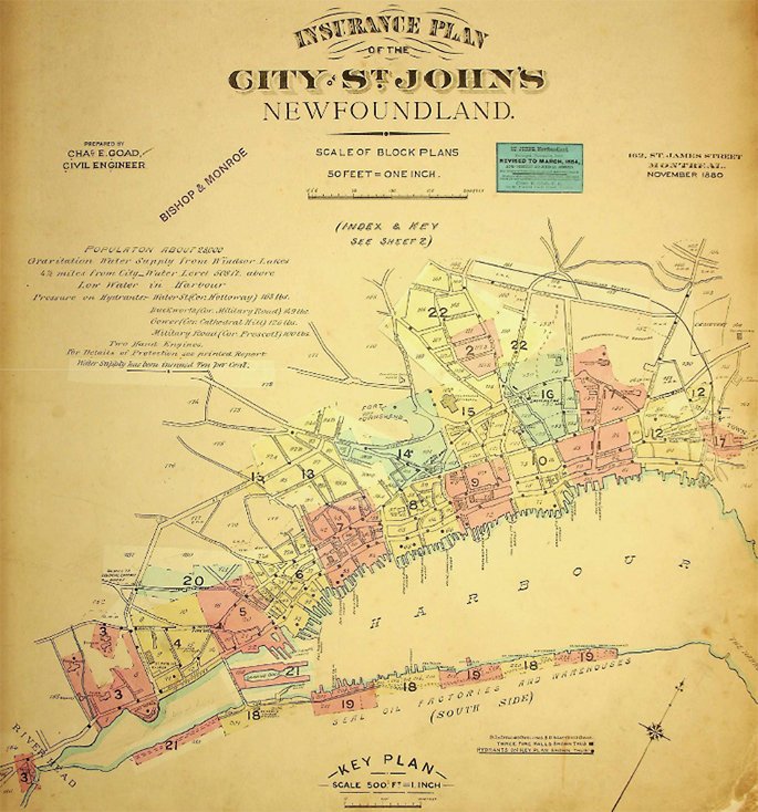
Insurance Plans were maps created to help insurance companies document the risk of potential fire damage. This helped determine the rates and costs of insurance for that property.
Our earliest Insurance Plans were prepared by Charles R. Goad and Company.
Insurance Plans
- Document the evolution of urban development and design
- A valuable resource on the infrastructure of the mercantile district, destroyed by the Great Fire of 1892
- Detail property structures for the whole city
- A wealth of information for engineers, residents, students, authors, and the public.
Please note there are revisions to some of the volumes.

Using the plans
Insurance Plans use a colour-coded legend to identify details such as building type, construction materials, dwelling type, and fire hydrant locations.
The more current maps are subject to copyright. They are for research and education purposes only.
Loading Document Feed...
Contact Us


